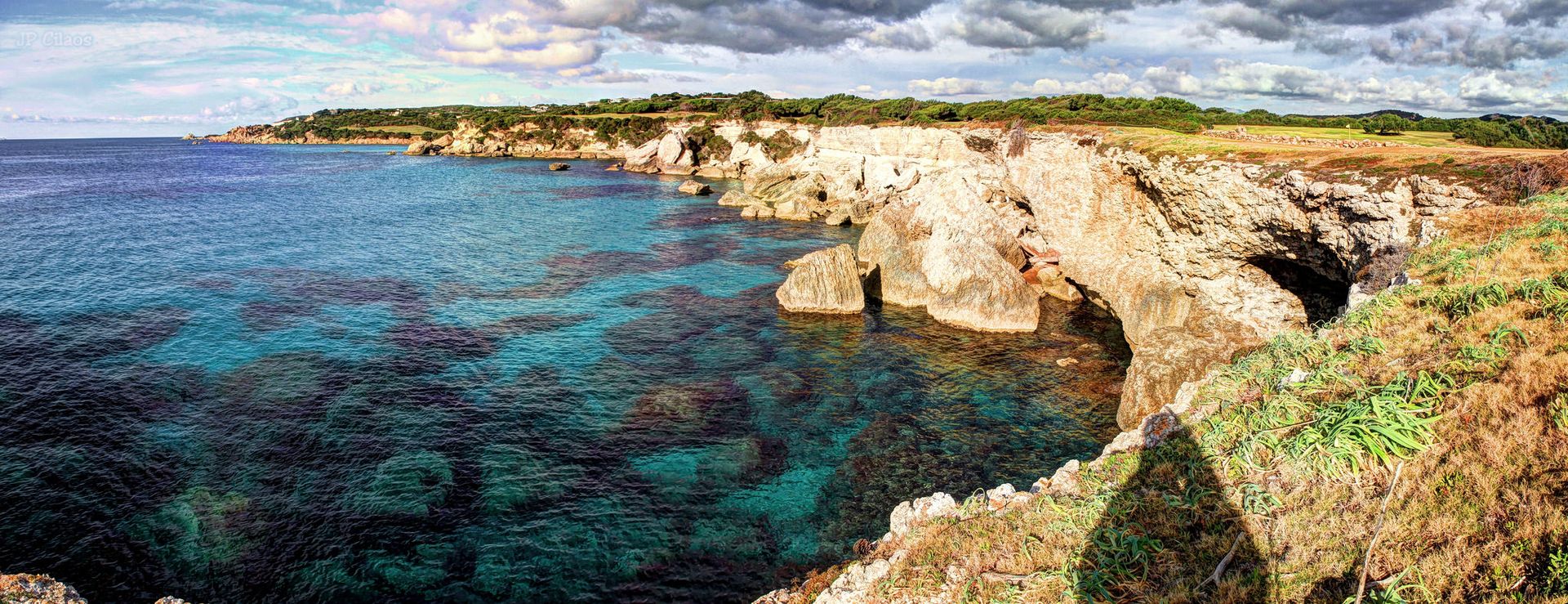
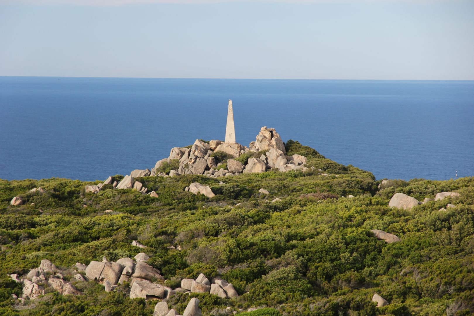
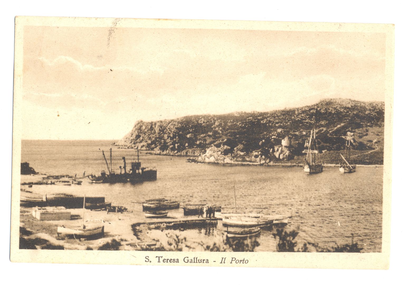
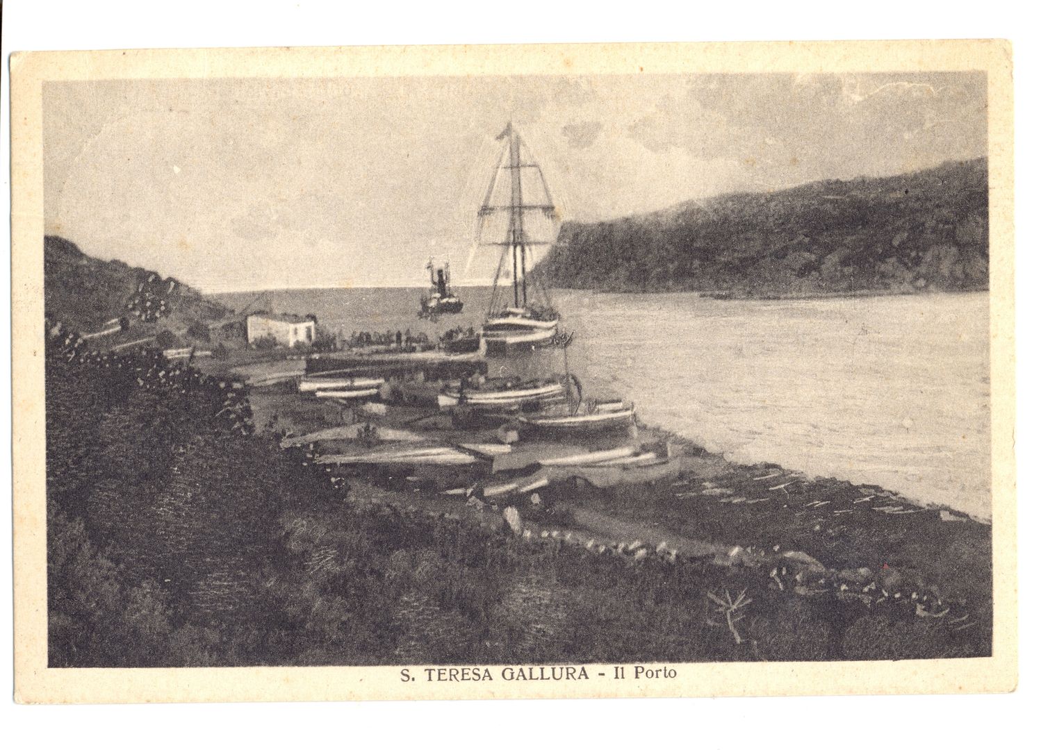
THE BOCCHE DI BONIFACIO AND CAPO TESTA
by Thomas Forester
Rambles in the islands of Corsica and Sardinia
London 1858; 1861
Longman. Brown, Green, Longmans, and Roberts
in italian: ![]()
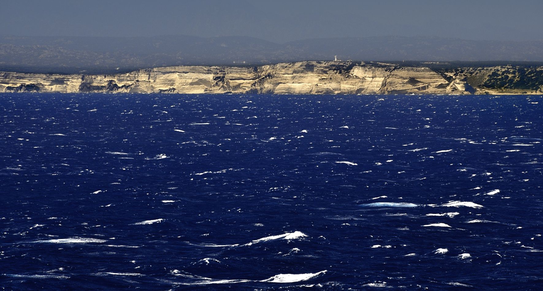
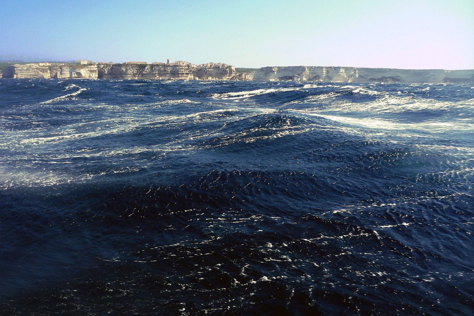
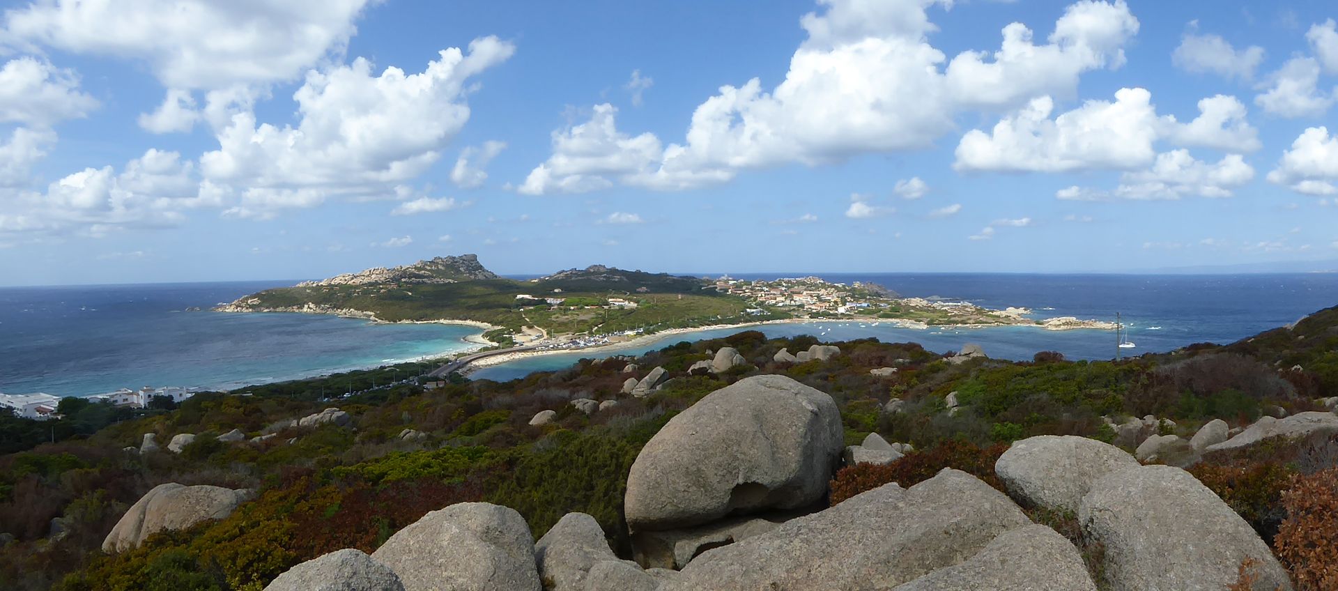
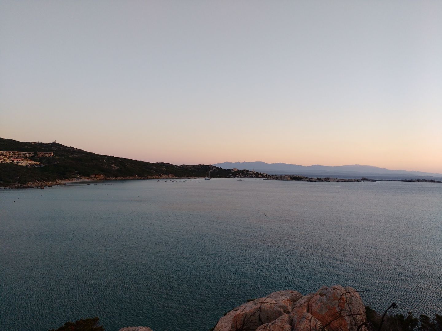
These straits are considered dangerous by navigators, from the violence of the squalls gushing suddenly from the mountains and causing strong currents, especially during the prevalence of winds from the northwest during nine months of the year.
Lord Nelson describes them during one of these squalls as “looking tremendous, from the number of rocks and the heavy seas breaking over them.” In another letter he says, “We worked the ‘Victory’ every foot of the way from Asinara to this anchorage, (off La Madelena,) blowing hard from Longo Sardo, under double-reefed topsails.” The difficulties of the Bonifacio passage can hardly be understood by a landsman who has not visited the straits, but they are stated to have been so great, “and the ships to have passed in so extraordinary a manner, that their captains could only consider it as a providential interposition in favour of the great officer who commanded them.”
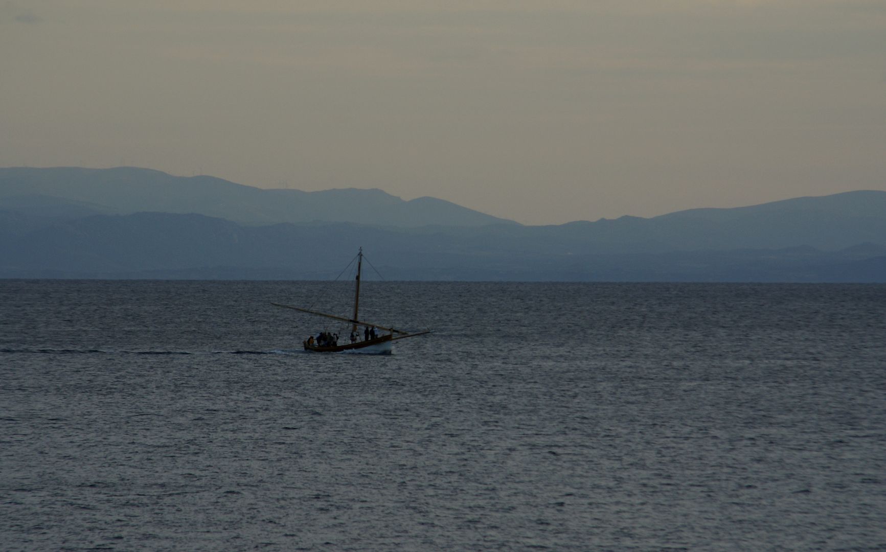
It was, however, pleasurable to linger midway between the two islands, retracing our route in the one by the lines of its mountain ranges, and anticipating fresh delight in penetrating those of the Gallura now in prospect.
The appearance of a French revenue cutter to windward tended to reconcile us to the failure of our plan of getting smuggled across the straits, which might have led to more serious consequences than the detention we suffered.
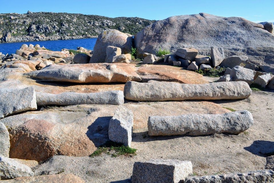
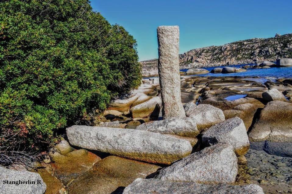
In some of the islets lying nearest the Corsican coast quarries were worked to supply blocks and columns for the temples and palaces of imperial Home. Quarries of the same material were also worked by the Romans, as we shall find presently, on the coast of Sardinia, opposite these islands.
Those of the Pantheon are said to have been excavated near Longone; and several similar ones, as well as rude blocks, may still be seen in the quarries on the promontory of Santa Reparata, near which the remains of some Roman villas have also been discovered. In later days we find the value of the Gallura granite appreciated by the Pisans.
Their Duomo, built by Buschetto in 1063, soon after their possession of Sardinia, shows the beauty of the Marmorata rocks; and the Battisterio, built in 1152 by Dioti Salvi, has also much of Gallura material in its construction.
SOURCES OF ILLUSTRATIONS
Postcards and Photos, Late 19th/Early 20th Century
collection of the Historical Archive of Santa Teresa
Contemporary Photos
Fabrizio Fusari – Flickr, Patrick Nouhailler – Flickr, Dave Ungar – Flickr, Romano Stangherlin, Jean Paul Cilaos – Flickr, Gianni Careddu – CC BY-SA 3.0 wikimedia commons, Andy Hammond – Flickr, Kiban – CC BY-SA 3.0 wikimedia commons, foto propria – Flickr

