SANTA TERESA

by William Henry Smyth

Sketch of the present state of the Island of Sardinia⇒

London 1828

John Murray, Albermarle-Street

in italian: 

coll. Historical archive of Santa Teresa
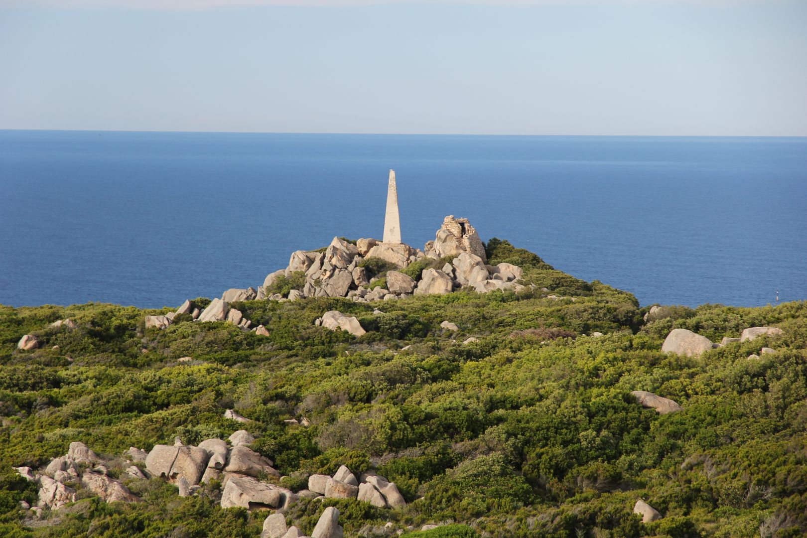
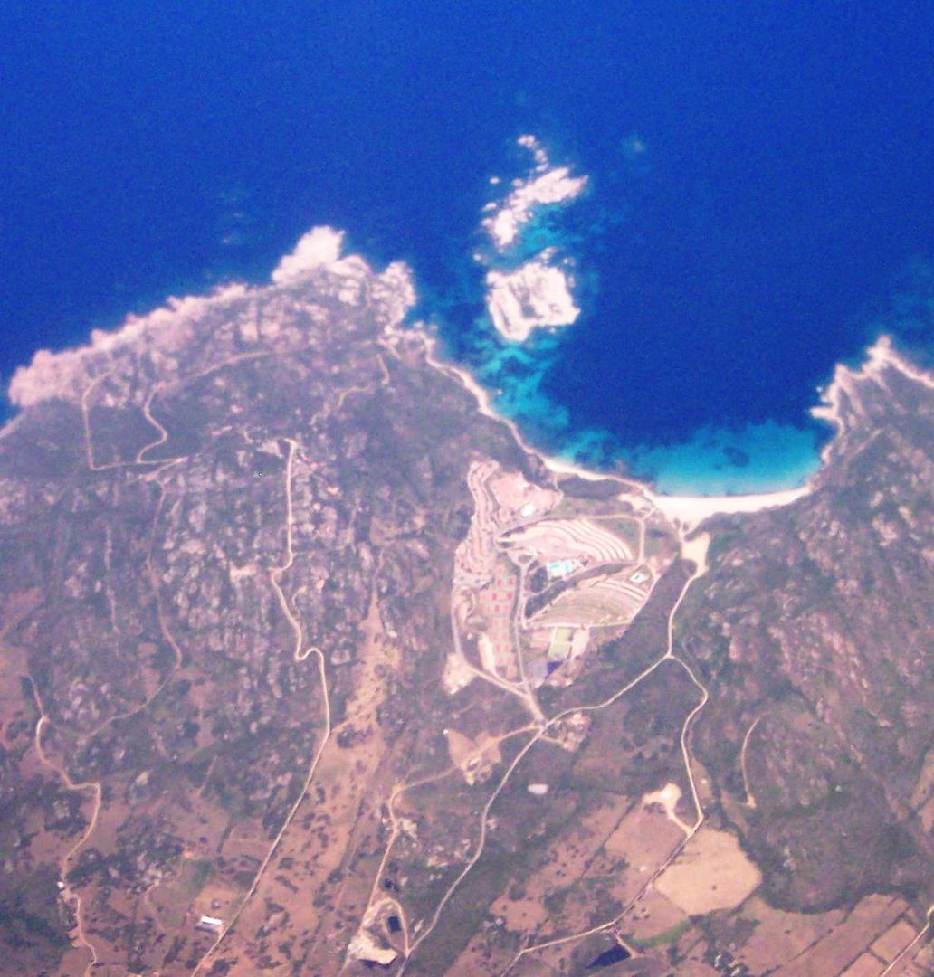
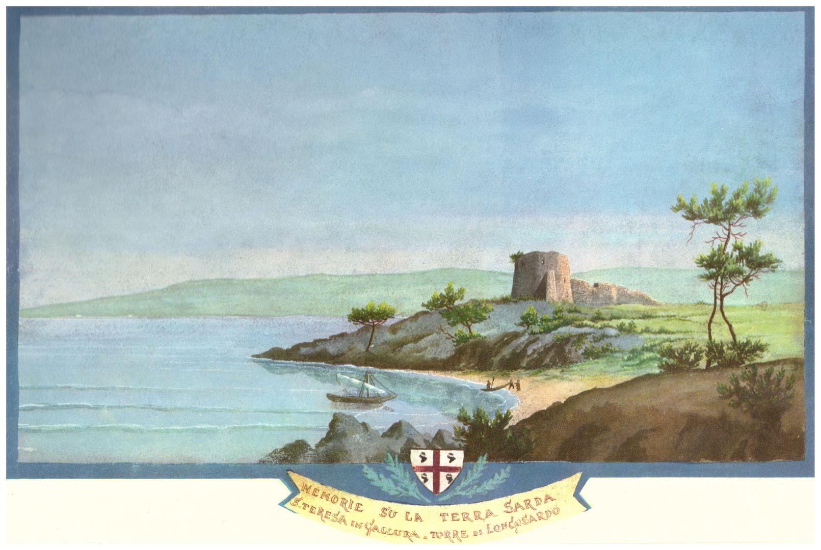
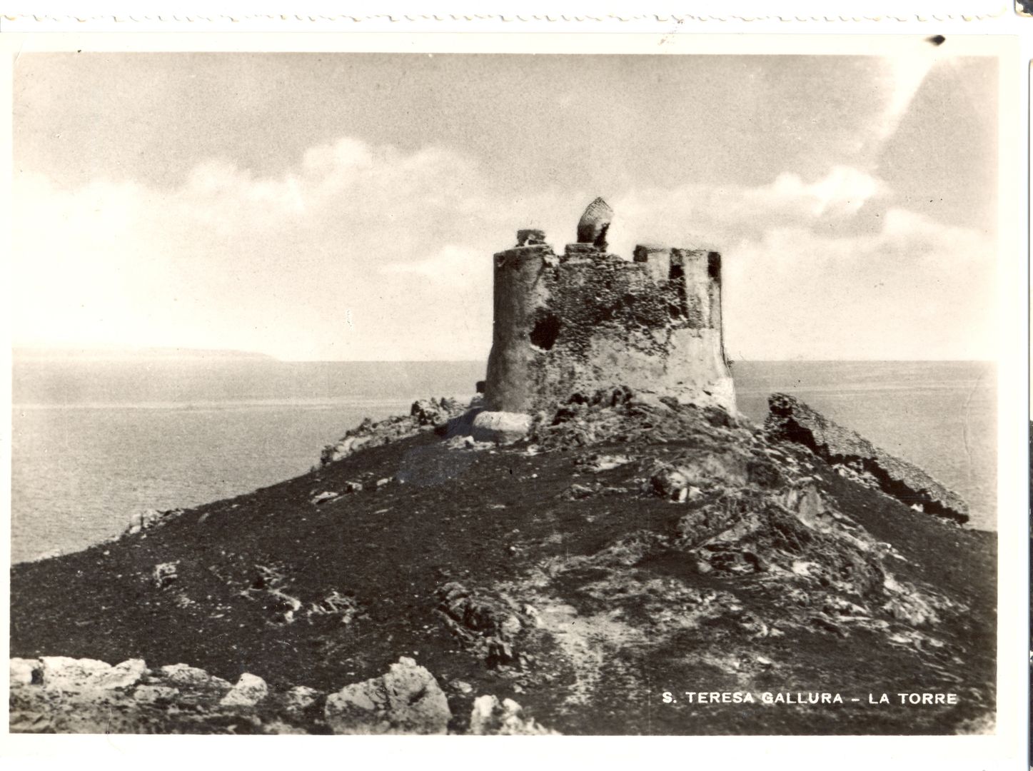
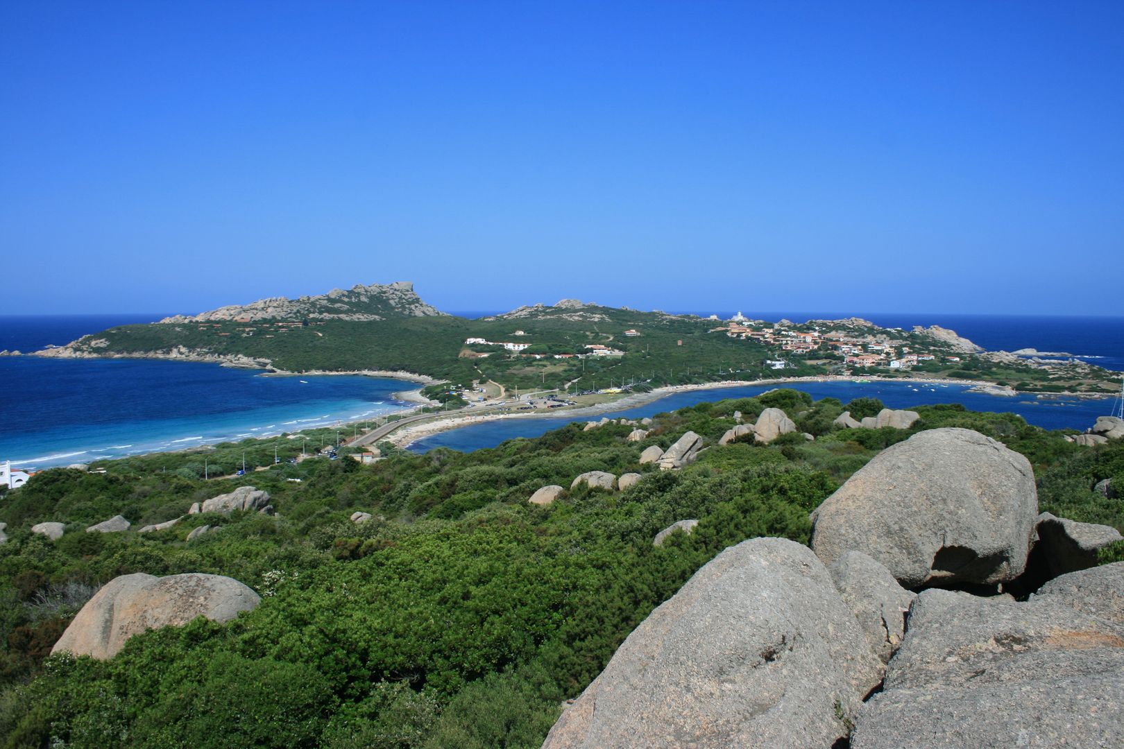
The north cape of Sardinia is formed by a bold cliffy headland, with the rocks and islets of Marmorata on its east side: the western part is called point Falcone, and about two miles to the W.S.W. of it, stands the stout round tower of Longo Sardo, with a triangular space walled in.
Gianni Careddu - Punta Falcone
Wikimedia commons - Punta Falcone
Philippine de La Marmora - Santa Teresa di Gallura-Torre di Longosardo, 1854-1856
coll. Historical archive of Santa Teresa
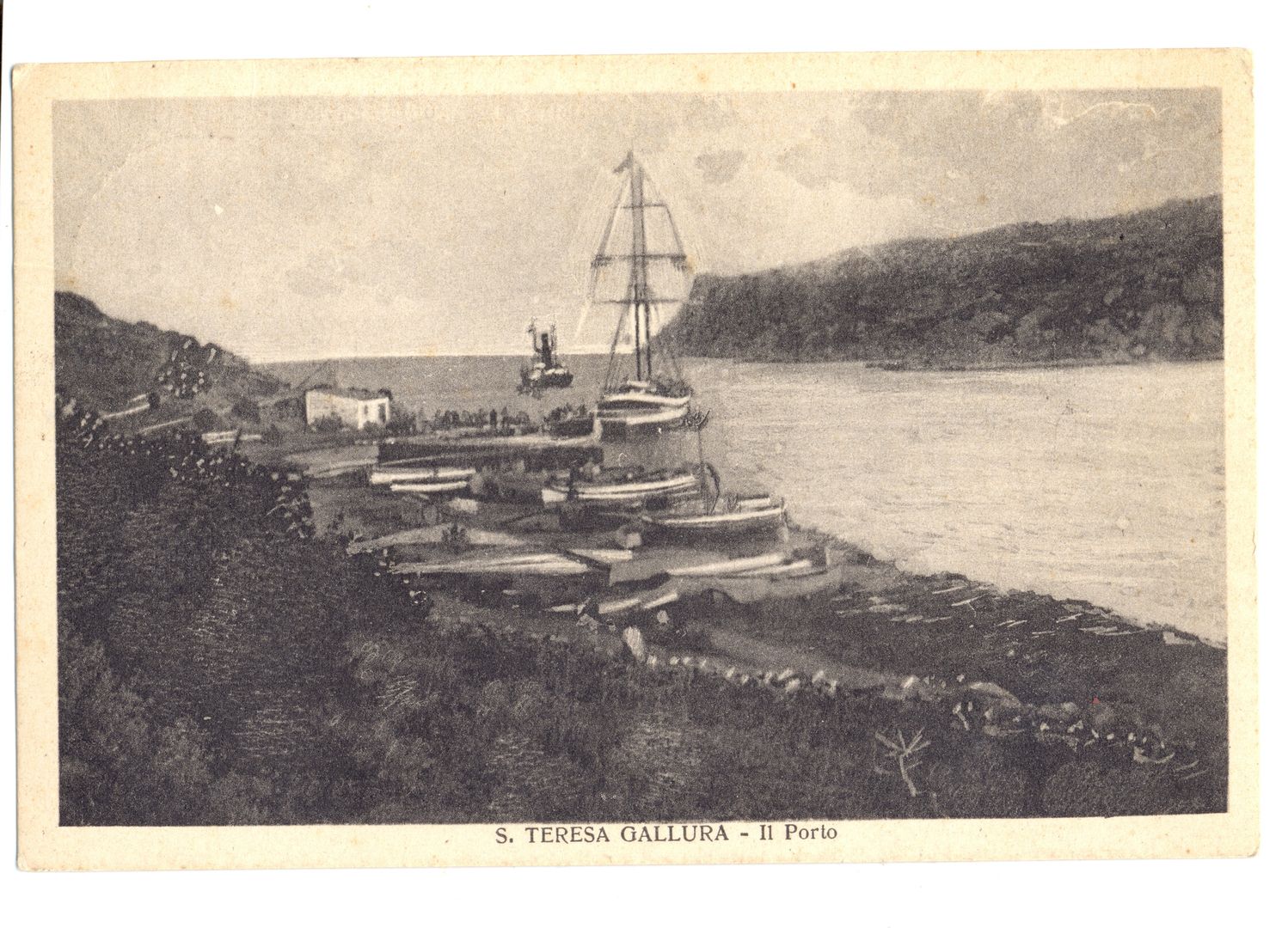
Porto Vecchio, or the harbour of Longo Sardo, is an iron-bound inlet, with a sandy beach at its south extreme, near which is a small mole; there is sufficient depth for one or two vessels, but the north wind blows directly in; and there is intemperie at the upper end in summer.
coll. Historical archive of Santa Teresa
Fresh water may be obtained near the Campo Santo, but that outside the tower is of a superior quality.

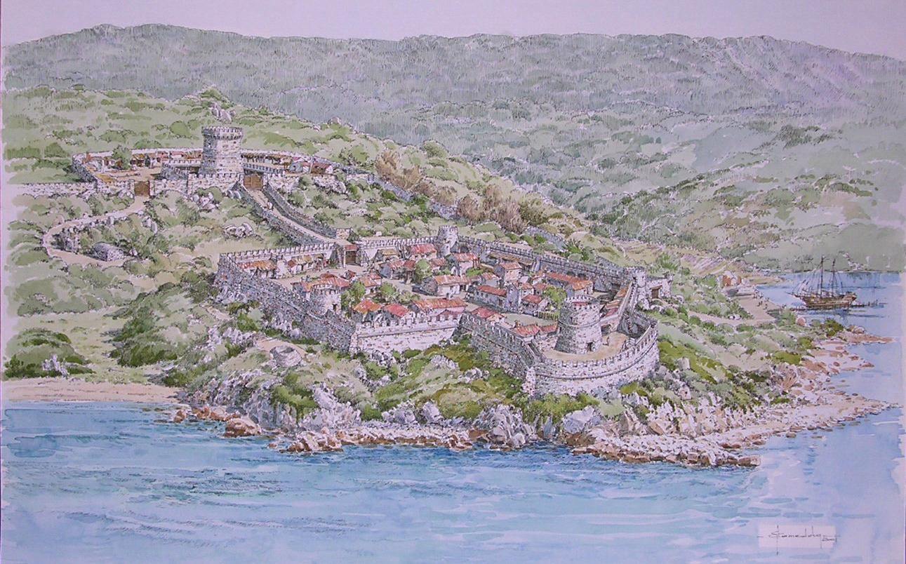
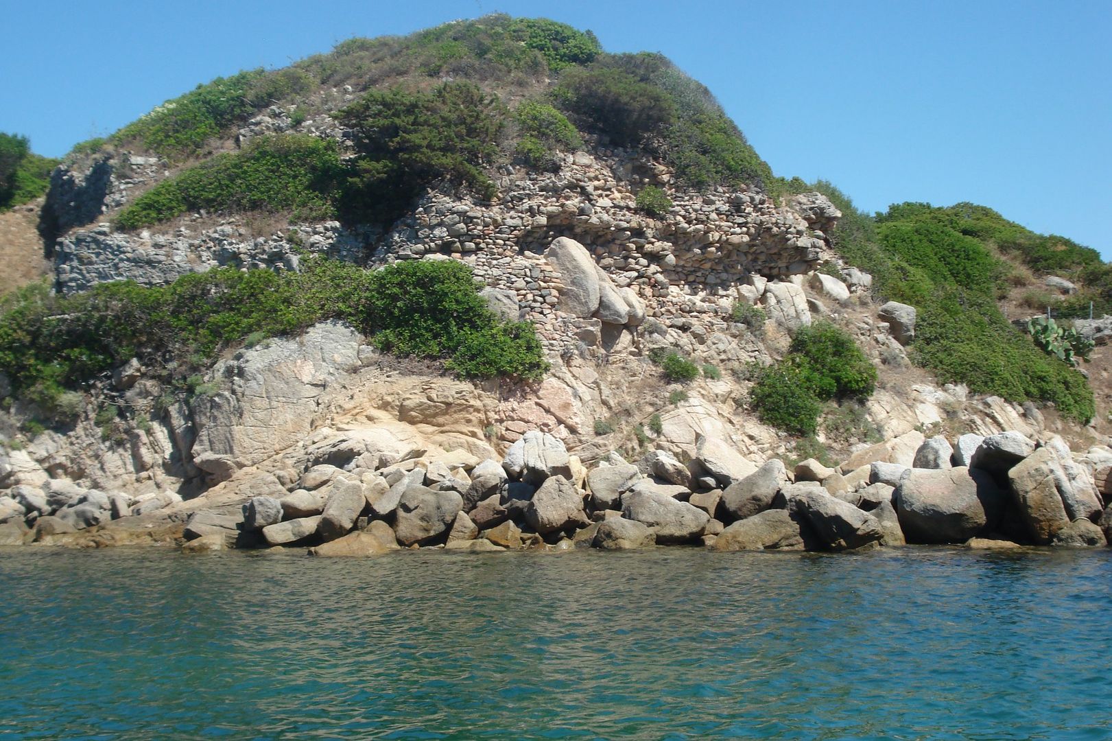
On a point on the east side are ruins of the fort and walls of Longonas, a Pisan town, destroyed by the Arragonese: it is thought by some to have been the Plubium of the ancients; but I found nothing indicating this as the identical spot, though, by inference, it must have been somewhere in the neighbourhood.

drawing by Michele Guida, coll. common archive of Santa Teresa
Rosanna Guspini -  remains of the castle
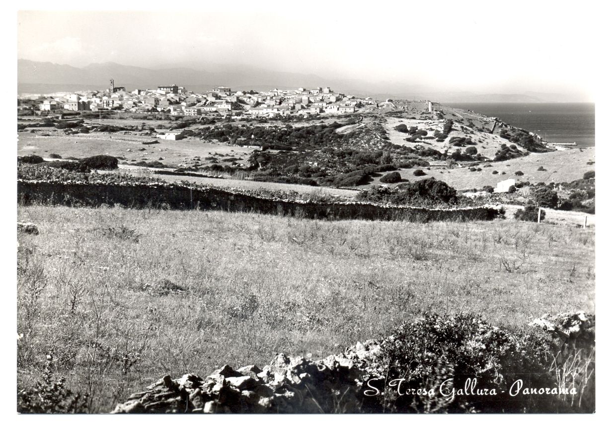
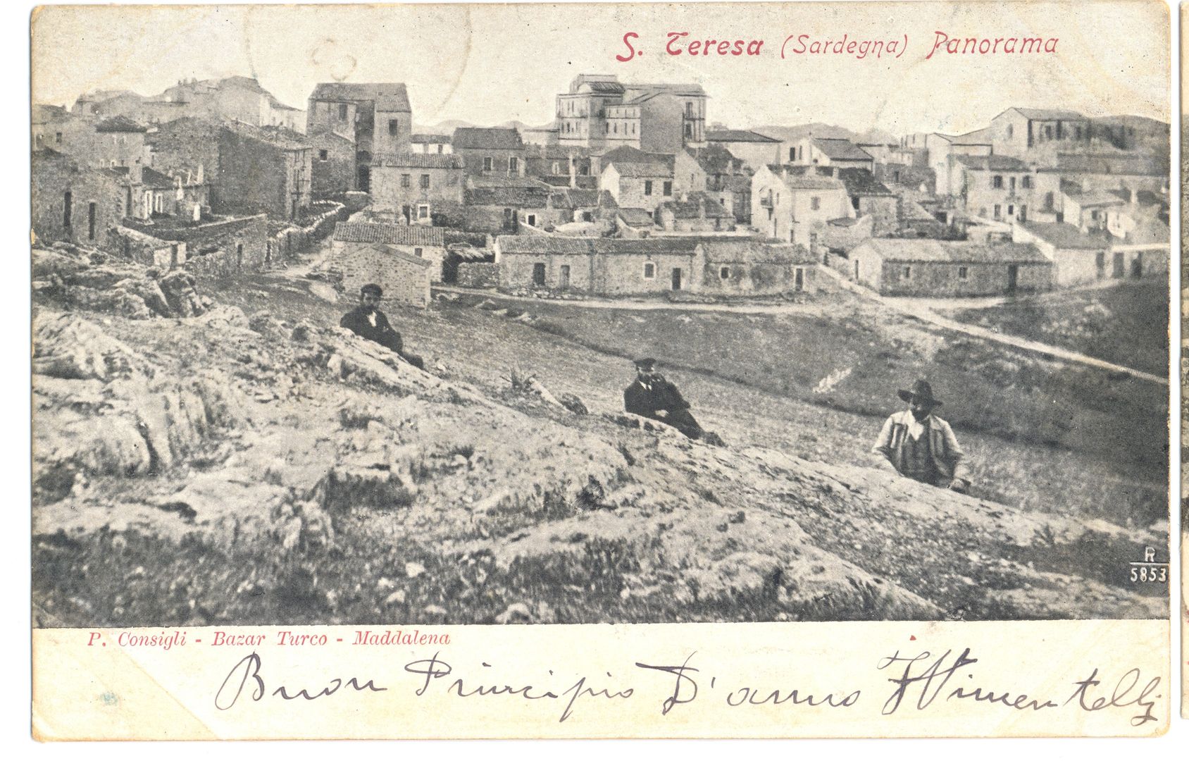
Santa Teresa, the new town, consists of a few granite-built houses, of a single story in height, healthily situated near the western point, on a hill considerably higher than that of Longonas. This place is rapidly increasing; and its vicinity to Corsica, affords a facility to the exiles from that country, to live in correspondence with their relatives: besides which, it is said, that a twenty years’ residence abroad expiates any crime.
coll. Historical archive of Santa Teresa
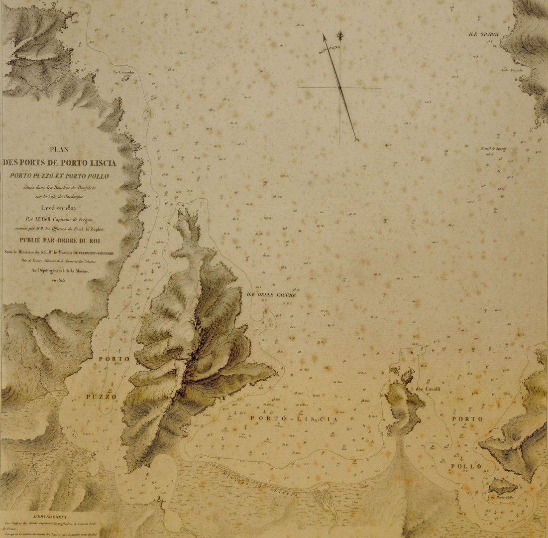
The whole space from Liscia hither, is a continuation of the neglected Gallura tracts already mentioned, almost uninhabited, but every where evincing the same fertility in spontaneous vegetation; and delicious odours are wafted by every breeze from countless numbers of aromatic plants, that “waste their sweetness in the desert air”. […]
by Mr. Hell, Porto Liscia map, 1823
Leaving Longo Sardo, we pass by the rugged point and rocks of Monaca; and proceeding about a mile to the S.W. enter the bay of Santa Reparata, formed by a sandy isthmus, connecting the close-grained granite mountain of Testa Grossa to the main.
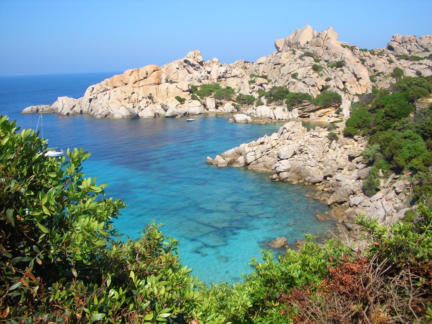
Pattyvi, Flickr - Capo Testa
On the western side is a small chapel dedicated to the saint; and on the highest summit a deserted turret, of very difficult access, but commanding a fine view over the whole strait of Bonifaccio: it is in latitude 41°14’28″N., and longitude 9°08’15″E.

This cape was the Erebantium Promontorium of Ptolemy, and its western face is composed of strongly marked rugged cliffs, with several rocks above water, at its base, but nevertheless of deep approach.

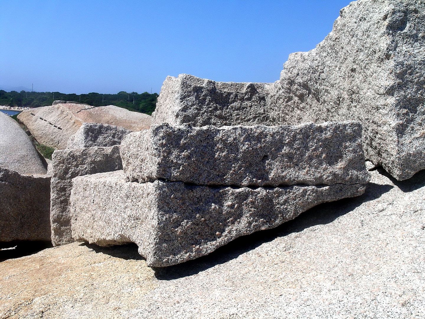
On the north point is a cove, called Cala Spinosa, and near it are some quarries where fine granular stone may be obtained, and whence the columns were taken for the Pantheon at Rome, that most admirable specimen of ancient taste. Fifty or sixty large shafts, intended for columns and pilasters, with parts of a sarcophagus, were moved towards the beach, for exportation, and are still lying near the chapel of Santa Reparata.

by Steffi Franco - Cala Spinosa
As a striking instance of the general ignorance of geographers respecting Sardinia, it may not be improper here to notice the map of Le Rouge, of 1753, which was dedicated to the Royal Academy of Sciences, as “the result of ten years zealous application to precious manuscripts”.

In this incorrect production, the following note is placed near the centre of Gallura: “Icy se voyent les matrices des colonnes du Pantheon”, but how, from such an inland spot, the enormous masses were got down to the sea side, it would be difficult to explain.

Gianfranco Galleri, wikimapia
Gianfranco Galleri, wikimapia.org

SOURCES OF ILLUSTRATIONS

19th Century Paintings, Drawings, Maps and Lithographs 

Philippine La Marmora, Santa Teresa, ca 1854-1856, IN Luigi Piloni, Memorie sulla terra sarda: tempere inedite di Philippine de la Marmora (1854-1856), Cagliari, Fossataro, 1964.

Map of Porto Liscia, IN Ports situés dans les Bouches de Bonifacio, 1823, from www.sardegnadigitallibrary.it

Postcards and Photos, Late 19th/Early 20th Century

Collection of the Historical Archive of Santa Teresa

Contemporary Photos

Gianni Careddu – CC BY-SA 3.0 wikimedia commons, GNU wikimedia commons, Rosanna Guspini, pattyvi – Flickr, Steffi Franco, CC BY-ND 2.0 – Flickr, Gianfranco Galleri – wikimapia CC-BY-SA.

© ALL RIGHTS RESERVED
Condividi Articolo su: